Vivian ChuiOmineca Express
The significance of data, in addition to information collected from new perspectives, would help Vanderhoof’s residents navigate the Nechako water systems’ ongoing changes in the future, said the district’s community members.
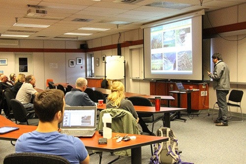
UNBC researchers from the Integrated Watershed Research Group (IWRG) presented their work regarding climate, erosion, and information sharing of the Nechako River Basin to an audience of council and community group members at W.L. McLeod Elementary School on Sept. 9.
For Wayne Salewski, chair of the Nechako Environment and Water Stewardship Society, the community needs to know how to use existing data from an economic standpoint.
“One of the things we need to understand is not only the changes in precipitation and temperature, but the timing of the changes,” Salewski said. “Understanding the timing shift would help us from an economic position, we may plant a different kind of crop.”
The presentation started with Aseem Sharma, whose work in climate change and precipitation shows that the Nechako Watershed is warming up with the rest of the world and may become wetter in the future.
Between 1950 to 2010, Sharma said the area had an average temperature increase of 2.3 degrees Celsius, as well as a projected increase of about 8 cm in precipitation in the next forty years.
He aims to establish a new weather station, analyze water availability, and explore the effects of the Pineapple Express in the future.
David Gateiulle then outlined his work in analyzing sediment sources from different rivers in the Nechako Watershed — top soil versus bank fallouts, for example — through nine traps in creeks to explore the area’s water erosion.
He said that while the water system’s upstream is mainly comprised of forests and hence less erosion, downstream — or east of the watershed — is more agricultural.
By analyzing sediment cores located at areas where tributaries join the main river, Gateiulle would be able to trace the historical change of the water flows by March 2016.
Lastly, Kate Hewitt presented an online platform for collecting and showcasing knowledge of the Nechako Watershed that is referenced by a physical map of the region, allowing users to add and access information by geography.
For Margot Parkes, one of the founding members of IWRG, said the significance of research comes from the conversations and roundtables, where interested parties collaborate through tools to take data to wisdom.
Barry Booth, IWRG’s research manager, noted that for the research group’s first presentation to the community, there’s a unique dynamic between the researchers and the community involved,
“There’s a real quest and thirst for information from the community to help inform the work that they’re doing,” Booth said. “We’re here to listen, not just to tell.”
Active organizations in the Nechako River watershed will gather to share existing projects, identify information gaps, and explore future collaboration at the Village Inn on Sept. 16 at 10:00 a.m. to 3:00 p.m.