The evaluation by Rio Tinto that the town of Vanderhoof has only a two per cent chance of flooding this year is being viewed with a healthy dose of skepticism by Mayor Gerry Thiessen and Council as they continue to monitor the situation.
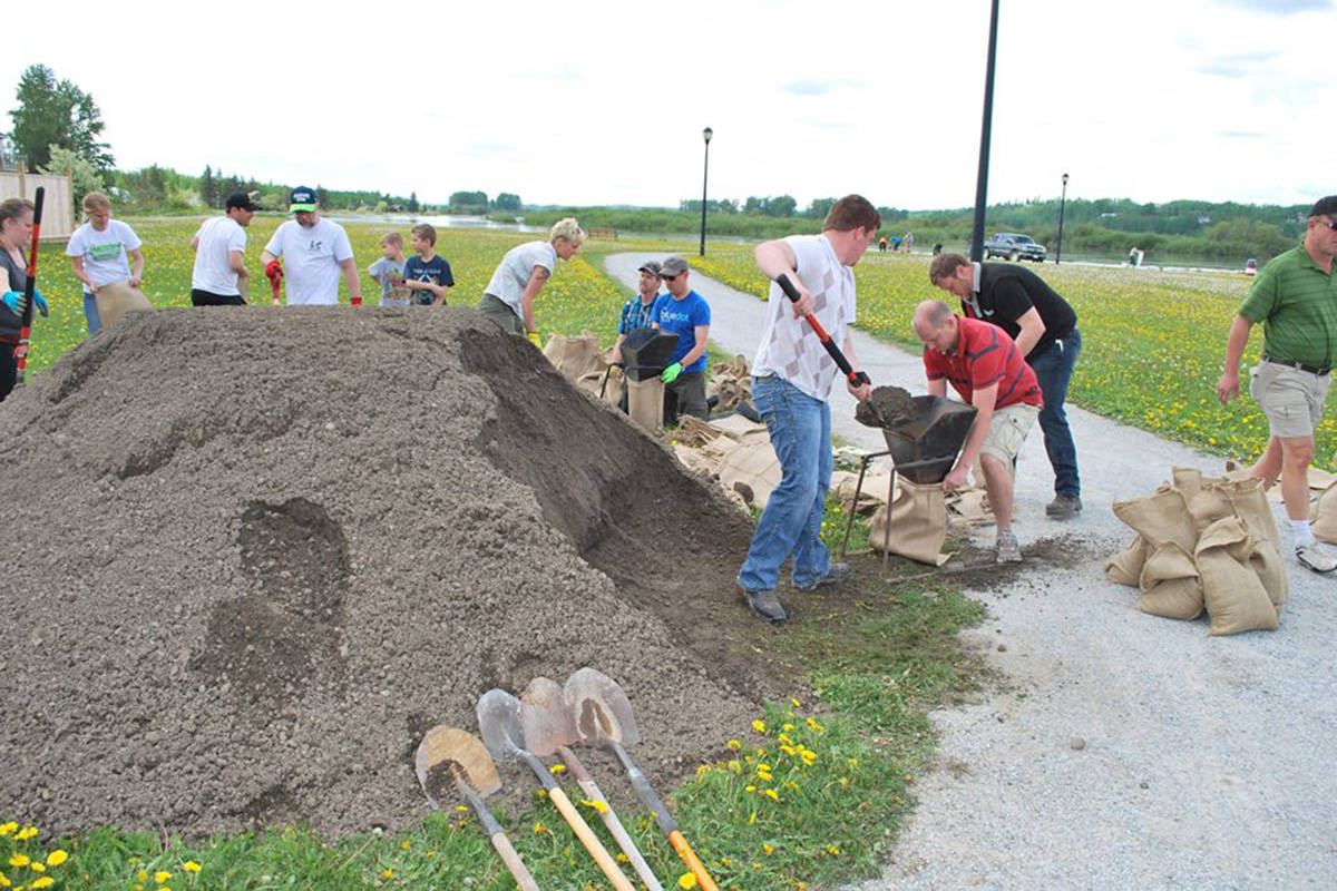
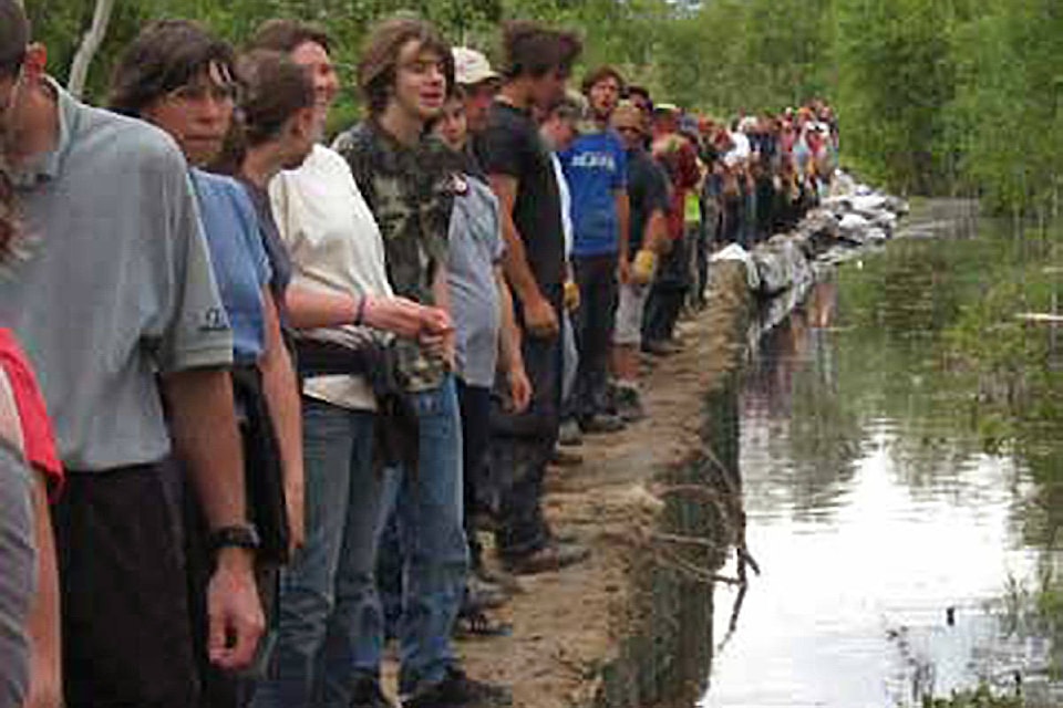
The town has experienced two significant flooding events in the last decade with floods in 2007 and 2015 (in addition to a few other minor high water events) and Thiessen said the council is taking steps to prepare for what they think is another potential flood in 2018.
“There is significant angst right now in the community,” said Thiessen at the April 9 meeting of Council.
He expressed concern that Rio Tinto’s modelling might not give enough consideration to the run off from the Nautley River, which drains Fraser Lake into the Nechako River and where the annual snow pack has been more than double the historical average.
Thiessen asked the representative of Rio Tinto (who was on a conference call with council) whether that snow pack had been considered in the two per cent approximation, and was assured that it had.
And despite the fact that councillors have called for Vanderhoof to prepare for the potential of a flood, Thiessen said that there is no money set aside for fighting a flood and that the municipality would have to rely on Provincial funds, should the need arise.
Jonathan Boyd, River Forecast Centre hydrologist, feels that the two per cent flood probability prediction presented by Rio Tinto is a bit disingenuous.
“The two per cent flooding risk they are citing is based upon snow pack measurements viewed from three historically long term stations further up the mountains at Tahtsa Lake, Mount Wells and Pondosy. The snow pack there is only at 103 per cent of normal,” explained Boyd.
“What’s different this year is that, at the lower elevations in the Nautley region, the snow pack is closer to 146 percent of normal. And at two other sites it’s even worse.”
He added that the snow pack at Bird Creek has been measured at 229 per cent of normal and at Skins Lake that number climbs to 259 per cent of normal.
The problem facing Rio Tinto, said Boyd, is that there is a bit of a guessing game in which they are forced to participate.
It all comes down to precipitation and the speed at which the freshet (spring thaw) occurs.
“We have the very high snow pack in place, so that’s a given. But if the thaw happens slowly and we don’t have much precipitation, it could be managed. If, however, you have the temperature climbing to 20 to 25 degrees in May and staying there for a sustained time, and if that is matched with high rainfall events, then the company (Rio Tinto) would be forced to release a larger amount of water through the Skins Lake spillway to ensure that the reservoir does not over-top the dam,” explained Boyd.
Kevin Dobbin Manager of communication and communities for Rio Tinto, has a bit of a different take on the situation.
“We have a roll (in Nechako River water levels) in what we release at the spillway, but there are many contributing factors. What we release at the spillway is only one of those factors.”
The company, he maintained, has launched the Water Engagement Campaign in March of this year with a view to identify measures that Rio Tinto can make voluntarily over the years to address community interests.
The scope may if the initiative, he said, will include interests relating to the Skins Spillway discharge, flow targets, water temperature targets and research programs.
At the time the program was launched, some on Council dismissed the initiative as nothing more than a PR campaign.
“We are part of this community,” said Dobbin. “There are different interests that encompass agriculture, fisheries, community residents. We want to be at ground zero and cast our net to have as many engagements as possible.”
Dobbin stopped short of answering a direct question about whether, given the fact that the water released at the spillway could contribute to a flood, the company would consider contributing to a reserve fund available to the municipality to fight a potential flood.
“We try to manage or limit the potential of flooding,” he said.
“For example we have increased our flow from 46 cubic meters (of water) per second to 85 cubic meters per second to lower the reservoir levels and make room for a potential rapid freshet. But we can’t control mother nature.”
An ad, taken out by Rio Tinto has advised Vanderhoof residents of the company’s position and action.
It reads:
“Nechako Reservoir is unlikely to fill completely this year. However, we are discharging twice the usual amount of water in case it is a wet spring.
We are doing this because the Nautley River could cause Nechako River to reach bank-full level even with minimal water from the reservoir. By discharging more water now we will be able to reduce discharge when the Nautley River is high.”
Boyd disagreed.
“As far as flooding Vanderhoof, what flows from Rio Tinto is the key,” he said.
So, why, ask some residents, doesn’t Rio Tinto simply discharge more water earlier and take the reservoir down much further.”They can’t lower reservoir too far because the outlet to the generating station is at the highest elevation (in the reservoir) If the reservoir gets to low, it lowers the outlet lake from the other lakes and they (Rio Tinto) always have to keep the generators running to maintain production. If the water was too low it could stop production at the smelter for months.”
But Boyd is also quick to point out that Rio Tinto is sometimes subject to a “bad rap”.
“They have no doubt prevented far more floods that they have ever caused,” he said.